
Haitian agriculture, department by department.
AtlasRGA is the interactive atlas of Haiti’s General Census of Agriculture 2008/2009. With maps to back it up, it makes readable a reference statistical publication that had so far stayed in its annex tables.
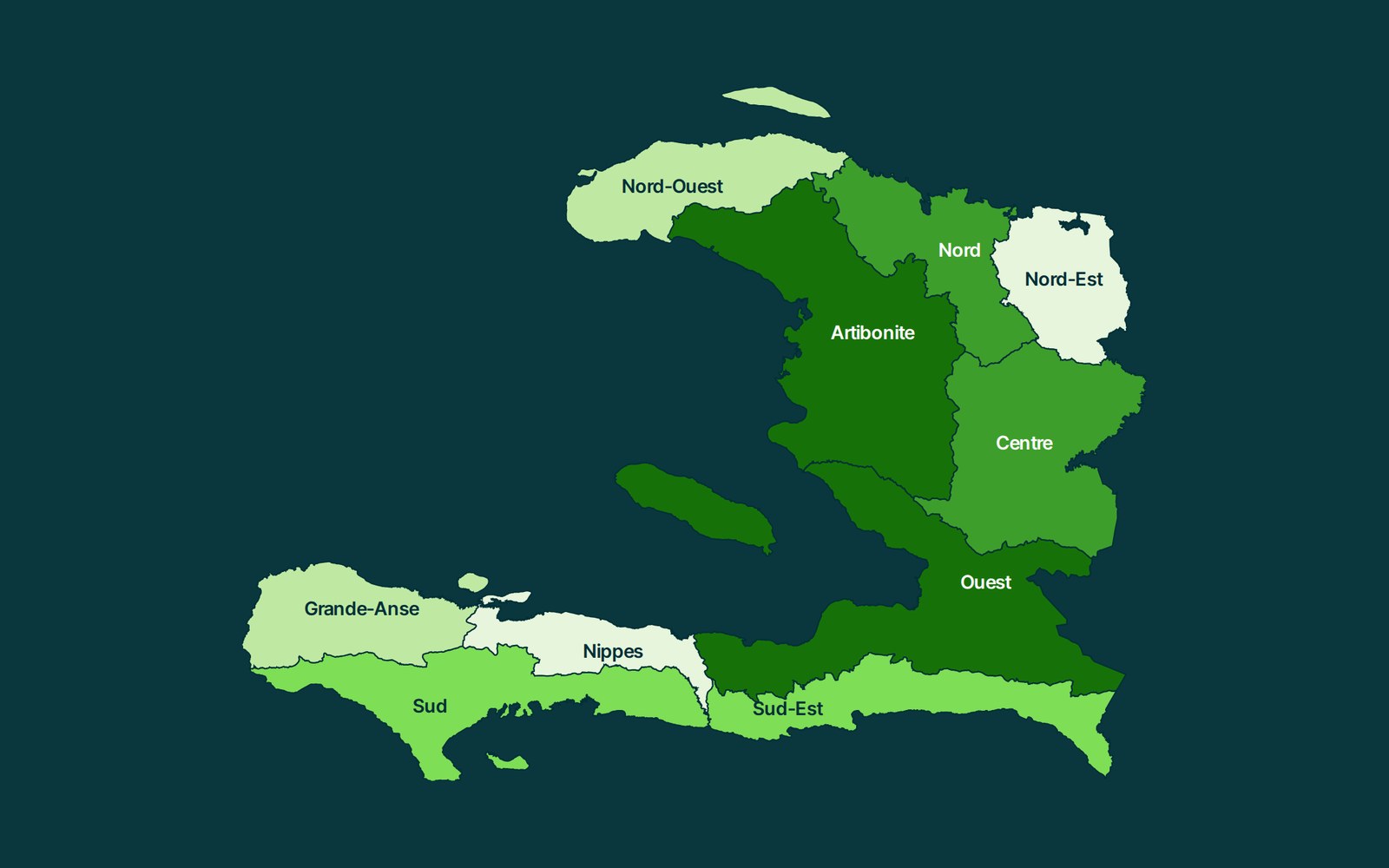
What the atlas lets you do.
Explore
One map per indicator, in five classes, with the actual ranges, the unit and the year always displayed. One click opens a department, its communes and its communal sections.
Compare and rank
Two or three departments side by side, with their rank, their share of the national total and their differences, then the full ranking of the ten departments.
Verify
A method sheet for each indicator: definition, formula if it is calculated, source table and page, rounding rule and limits of interpretation.
A rule of method.
The map may be more detailed than the data, never the other way round. The RGA publishes its results at department level: the atlas shows communes and communal sections as geographic reference points, without breaking a value down more finely than the source allows. Every figure stays dated 2008/2009 and tied to its table.
Statistical source: Synthèse nationale des résultats du RGA 2008/2009, MARNDR, 2012. Administrative boundaries: COD-AB Haiti, CNIGS and OCHA, 2018.
Open the atlas